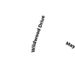
107 MAYFAIR DR
Owner Information
MAVRIKOS ANDREW
107 MAYFAIR DR
WESTWOOD, MA 02090


Property Details
107 MAYFAIR DR is classified as a Single Family Residential (Split-level).
The primary structure on this property was built in 1956. There are 3,972ft2 of built area within this property. There is 2,116ft2 of residential/living space within this property. This property is listed as having 6 rooms.
107 MAYFAIR DR is valued at $817,000. The land is valued at $434,800 and the structures are valued at $380,500. There is an additional valuation of $1,700 on this property.
This property is in Zone RC. Confirm with local Zoning Board authorities to ensure there are no overlays or other easements on this property.
The most recent deed for 107 MAYFAIR DR is recorded at the local registrar in Book 33268, Page 0330. 107 MAYFAIR DR was last sold on Tuesday, June 30, 2015 for $769,000.
Assessment data from fiscal year 2021.
Flood Data
According to the FEMA National Flood Hazard Layer, this property does not appear to be in a flood zone. It may also be in an area not yet reviewed. Nonetheless, confirm this information prior to taking any action.
To view the flood hazards around this property, create a FEMA "Firmette" Map of the area around 107 MAYFAIR DR.
Broadband Internet Providers
| Provider | Type | Bandwidth (mbps) | |
|---|---|---|---|
| Verizon New England Inc. | Fiber | 940 | 880 |
| Verizon New England Inc. | DSL | 5 | 0 |
| Viasat Inc | Satellite | 100 | 3 |
| VSAT Systems, LLC. | Satellite | 2 | 1 |
| HughesNet | Satellite | 25 | 3 |
| GCI Communication Corp. | Satellite | 0 | 0 |
| Comcast | Cable | 1000 | 35 |
Broadband service provider data from December 2020.
Adjacent Properties
- 46 WILDWOOD DR
Single Family Residential owned by MOERSCHEL JACOB S - 113 MAYFAIR DR
Single Family Residential owned by LAUDON FAMILY LIVING TRUST - 99 MAYFAIR DR
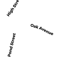
Single Family Residential owned by MCMURRAY FAMILY TRUST - HIGH ST
Vacant, Selectmen or City Council (Municipal) owned by TOWN OF WESTWOOD - 40 WILDWOOD DR
Single Family Residential owned by INISHEER LLC